
“Every weather observation is a drop in the bucket,” was a phrase used by one of the people first training me in the National Weather Service (NWS) in the mid-1990s in South Dakota.
A single weather observation by itself is a tiny piece of data. Combined with nearby observations, a “weather picture” starts to emerge. Over time, trends emerge. Over many years and decades, a very powerful research tool is gradually built.
If I recall correctly, my first certification test in the NWS was a surface weather observation test. This was my first NWS station assignment in South Dakota. The man who administered the test to me was from a neighboring office. It was officially graded at our regional headquarters in Kansas City, but he looked it over before he mailed it and told me I failed!
It turns out he was wrong. I started taking official weather observations in late 1994.
Prior to that, I was briefly a cooperative weather observer for the NWS in my college days. That required a once-a-day observation every day at 7 a.m. at a university site. I wasn’t exactly a morning person back then, so that was a bit of a struggle. Still, as a budding meteorologist, it was fun to take weather observations.
The way it was back then
In the late 1990s, the NWS restructured its staffing and services and modernized the radar and surface weather observation programs. Smaller offices were closed, and staffing was increased at the larger remaining offices. It needed to be done. I remember walking into my first NWS office in 1994 and thought I had stepped back 10-plus years in time technology-wise from my previous private sector job.
Prior to the restructuring, on most NWS shifts on weekends and at night we worked alone taking at a minimum one surface weather observation, an hourly network radar observation, and manually updating the weather radio broadcast and phone recordings.
With more active weather, the radar had to be watched constantly, and more staff would need to be called in. The office staff at my location (Huron, South Dakota) was small. There were only seven or eight people employed at the station, so when the weather was very busy with strong or severe storms, three to five people at a time would (or could) be needed. With a small staff, you did what you could with what you had, and we learned to prioritize. Storm warnings and timely observations were at the top of the list.
Wider network for weather observations
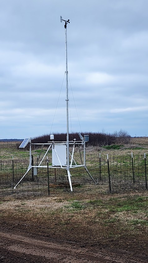
Today, many observations come from automated platforms. At the Springfield-Branson National Airport, an automated system has been in place since late 1995. Automated observations at larger airports are supplemented by a human observer, usually Federal Aviation Administration (FAA) personnel or FAA contract employees.
There are other observation networks that rely on volunteers such as CoCoRaHS and the NWS Cooperative network. Both networks report the weather once a day.
In Missouri, there are other agencies that maintain their own networks:
- The University of Missouri Extension (MU Extension) has several observation sites that support agriculture.
- The Missouri Department of Transportation (MODOT) maintains sites along interstate highways and a few airports.
- The Missouri Department of Conservation, the National Forest Service, and the National Park Service have weather stations designed to help measure conditions geared toward measuring natural cover fire behavior and wildfire potential.
- In Springfield, a rain gauge network maintained by the Department of Environmental Services provides data in nearly real-time to help assess stormwater quality and flood potential.
- “Backyard” stations can participate in an NWS program called the Citizen Weather Observer Program (CWOP). These stations are usually consumer-grade weather stations purchased by volunteer observers and then linked to the network over the Internet. Other privately owned weather stations also have networks.
- Here is an interactive map of weather observations showing many of these networks.
The history of weather observations
The value of observing and recording weather has been recognized for centuries. As meteorology matured as a science, scientists recognized the need to gather data from multiple locations. Prior to radio and telegraph communication, the data was used for scientific study rather than something closer to real-time weather observations and forecasting.
Evidence exists of weather observations being taken as far back as 1216 B.C. in China. Ancient Greeks also observed the weather and began to think of meteorology as a science rather than a mystical or divine action.
Benjamin Franklin and Thomas Jefferson had keen interests in meteorology. Jefferson kept detailed weather records at his home in Monticello, Virginia, for more than 50 years. In the 1770s, Jefferson proposed sending thermometers to every county in Virginia to establish a weather network. Due to the Revolutionary War, the plan was not implemented.
By the mid-1800s, the telegraph enabled the transmission of weather observations to centralized offices. In 1848, Secretary of the new Smithsonian Institution Joseph Henry inaugurated a telegraphic network of weather observers “to solve the problems of American storms.”
The Smithsonian supplied weather instruments to telegraph offices. This is where early weather observations in Springfield and surrounding areas have their roots with observations taken in Springfield 1857-1858 by J.A. Stephens and in Willard in from 1870-1872 by R.H. McCord. Weather records in Springfield were kept at times in the 1870s and early 1880s as well.
In 1870, recognizing the value of a network of weather observations, the organization that would later be known as the National Weather Service (then known as the Signal Corps, U.S. Army under the control of the Department of War) brought more timely regimentation and oversight to a national weather observer network.
Weather in 19th Century Springfield to now
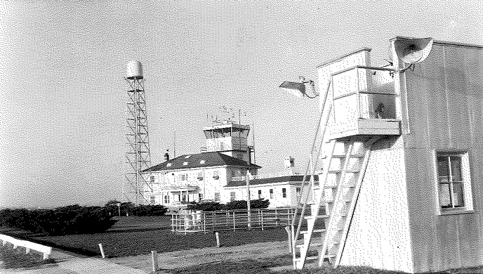
Official weather records began in downtown Springfield on Sept. 20, 1887, with Sgt. T.S. Collins in charge of the weather office. The Signal Service office was taken over by the new Weather Bureau on July 1, 1891. Observations were taken at various downtown locations until the early 1930s, when an office was established at the old Springfield Municipal Airport on Division Street. The station moved to the new airport on July 2, 1945. A WSR-1 radar was installed on March 28, 1957. At this location on Dec. 14, 1971, the Springfield office took a direct hit from a tornado. The wind exceeded 115 mph (the limit of the gust recorder), and the barometric pressure fell to a very low 28.83 inches.
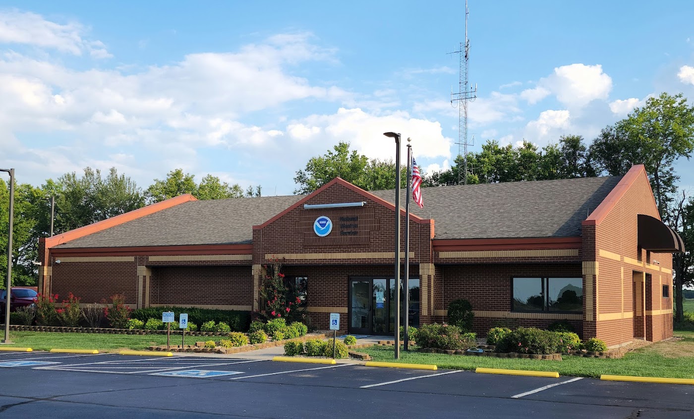
As part of the NWS modernization, the current NWS Springfield office was built in 1994 with a modernized radar (WSR-88D) and the upper air observation station installed soon after.
Many who have lived in southwest Missouri for some time also remember the NWS station at Monett. This station was known as a Weather Service Meteorological Observatory, and it was established on Sept. 4, 1970, with upper air observations taken. A network radar, the WSR-57, was commissioned in March 1971.
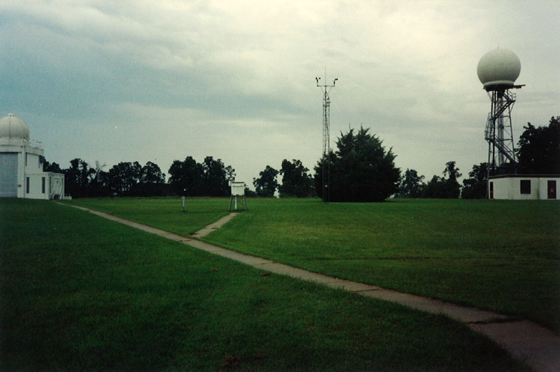
The Monett office closed after radar and upper air functions moved to the expanded, modernized Springfield office in 1995. While severe thunderstorms and tornado warnings were still issued by the office in Springfield during this time, the radar information was relayed to the Springfield office from Monett.
Today, millions of weather observations are recorded each day around the globe using both human observers and automated or remote sensing instruments. In the United States, official surface observations at stations that meet specified criteria, methodically collected by volunteer observers and automated weather stations, are used to document our weather and climate. There are a lot more drops in the bucket now than there were 100 years ago, but the data is still important.